

Eyes in the Sky.
Results on the Ground.
Based in Clearfield County, Pennsylvania — Our team deploys cutting edge thermal & 4K drone technology for locating pet and livestock, missing person searches, aerial & ground photography, aerial structure inspections, and more — day or night. Providing services throughout Pennsylvania and surrounding states.
Fully Licensed & Covered
You're in Safe, Qualified Hands
Federal Aviation Administration
FAA Part 107 Licensed
Holding an active FAA Part 107 Remote Pilot Certificate — the federal license required to operate drones commercially in the United States. Every flight is legal, safe, and compliant.
FAA Part 107 Certified Pilot
Commercial UAS Operations
Active Insurance Policy
Fully Insured
RAW Drone Services carries an active drone liability insurance policy — protecting you, your property, and our operations on every job. You can hire with complete confidence.
Active Liability Policy
Coverage on Every Flight
Liability Coverage
$1 Million in Coverage
Our insurance policy provides up to $1,000,000 in liability coverage — giving property owners, businesses, and individuals peace of mind on every single flight we conduct.
$1,000,000 Liability Coverage
Per Occurrence
Important Disclaimer: RAW Drone Services does not physically retrieve pets, livestock, or people. We locate subjects from the air and provide precise location information to you or your team. Retrieval is the sole responsibility of the client and/or appropriate authorities.
What We Do
Professional Drone Services, Available Throughout the Region
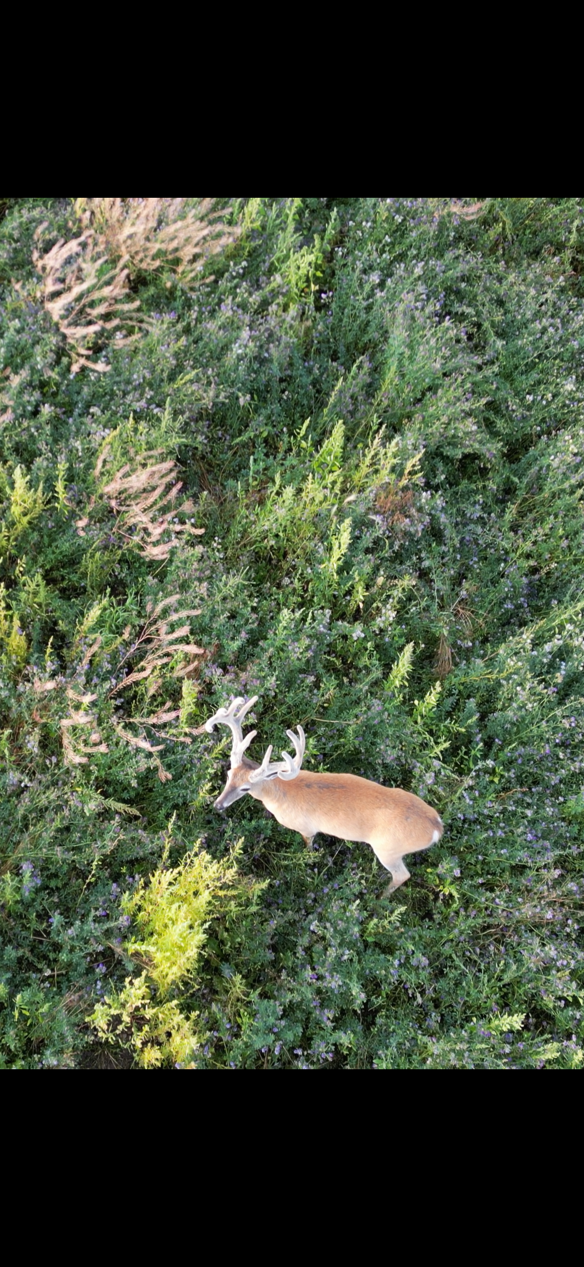
Deer Herd Census
Using our cutting-edge thermal imaging drone, we can efficiently survey large tracts of acreage to help landowners gain accurate population counts and buck-to-doe ratios. Our thermal camera detects heat signatures through dense canopy and low-light conditions, covering ground that would take days on foot. Ideal for wildlife managers, conservation efforts, and landowners looking to better understand the deer population on their property. Upon completion, RAW Drone Services will provide a detailed map and report to conclude the census.
Legal Disclaimer: This service is strictly for wildlife survey and population assessment purposes only. RAW Drone Services does not provide hunting assistance, pre-hunt scouting, game location for harvest purposes, or game retrieval of any kind. Use of this service for hunting or scouting activities is expressly prohibited and may violate Pennsylvania Game Commission regulations and state law. By requesting this service, you confirm that the information gathered will be used solely for lawful wildlife management or population study purposes.
Pricing for a herd census varies based on acreage, terrain, and your specific data needs. Reach out to us to discuss your expectations and we will input your details into our quote calculator to provide an accurate estimate.
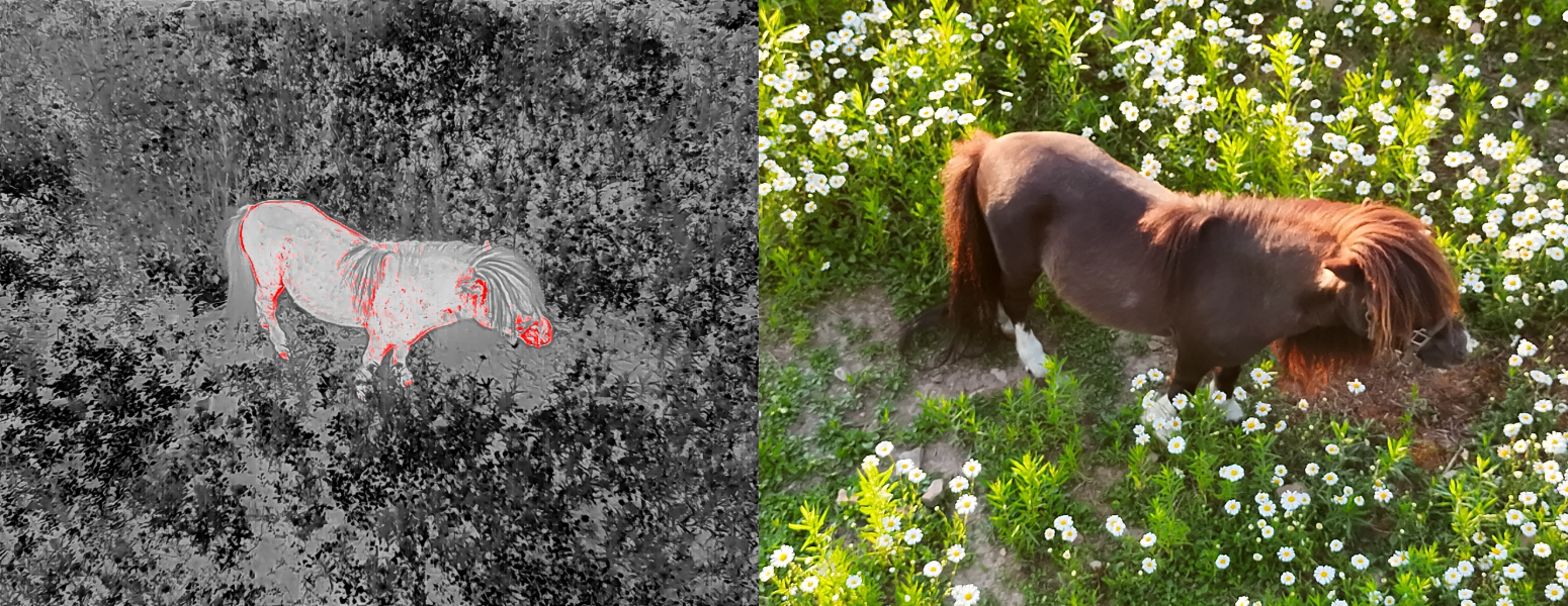
Pet Search & Locate
When your pet goes missing, our thermal drone can detect body heat signatures in fields, forests, and farmland — day or night. We locate your pet from the air and provide you with a precise location so you or your team can retrieve them.
Contact us to discuss pricing. Our quote includes distance, travel time, and one hour of flight time. Anything over one hour of flight time will be charged hourly — it is always the client's choice whether to continue.
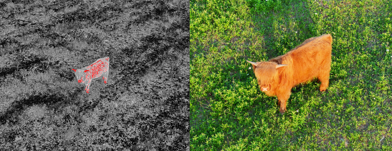
Livestock Search & Locate
Covering hundreds of acres quickly is impossible on foot. Our drone surveys your entire property in minutes, pinpointing escaped or injured livestock with thermal imaging even after dark. We provide you with an exact location — retrieval is handled by you and your team.
Contact us to discuss pricing. Our quote includes distance, travel time, and one hour of flight time. Anything over one hour of flight time will be charged hourly — it is always the client's choice whether to continue.
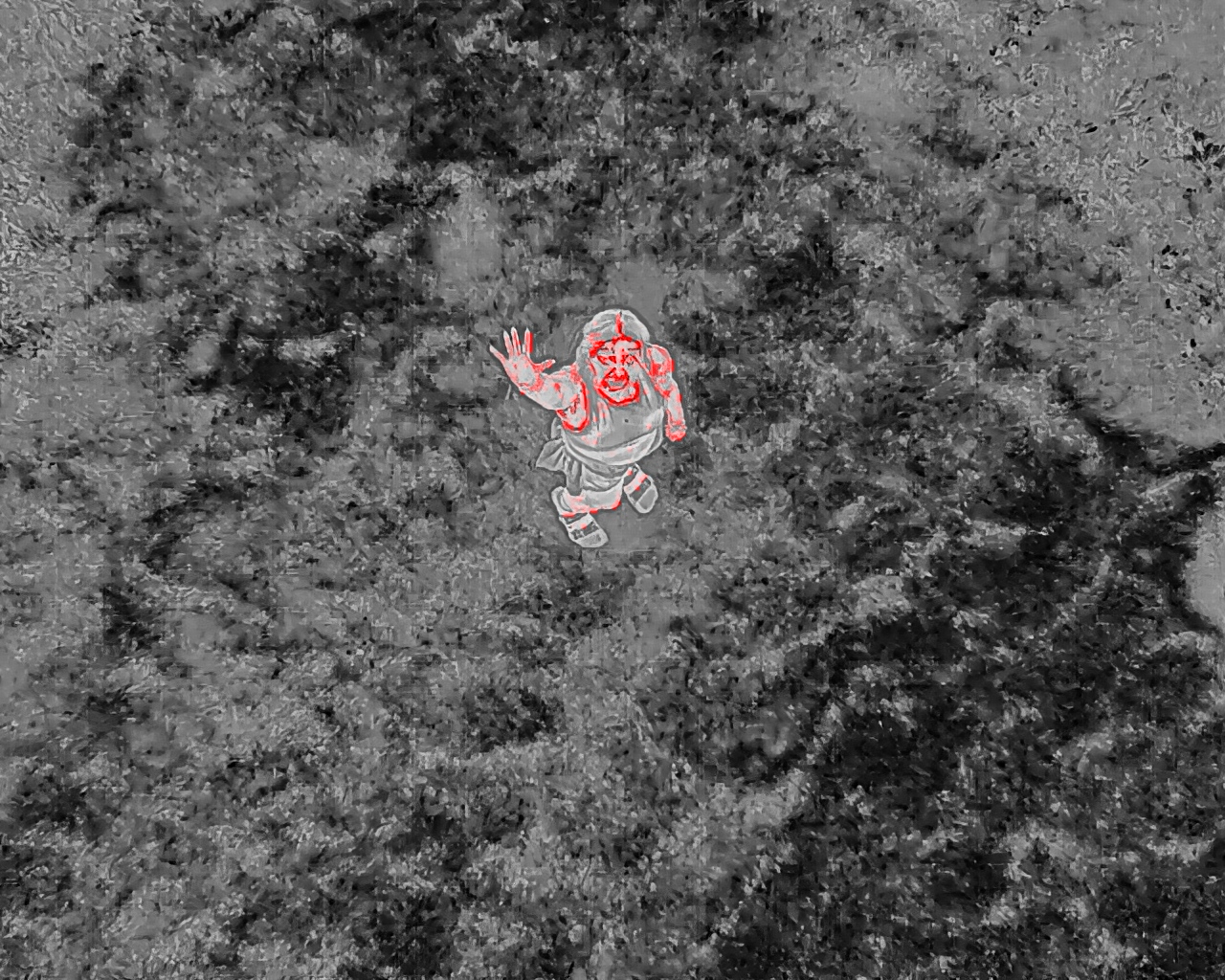
Missing Person Search
Coordinating with families and local search efforts, we deploy thermal and 4K aerial coverage to assist in locating missing individuals. We provide aerial reconnaissance and precise location data to assist ground teams — we are a search support resource, not a rescue service. Our Part 107 license ensures every flight is conducted safely and legally.
Contact us to discuss pricing. Our quote includes distance, travel time, and one hour of flight time. Anything over one hour of flight time will be charged hourly — it is always the client's choice whether to continue.
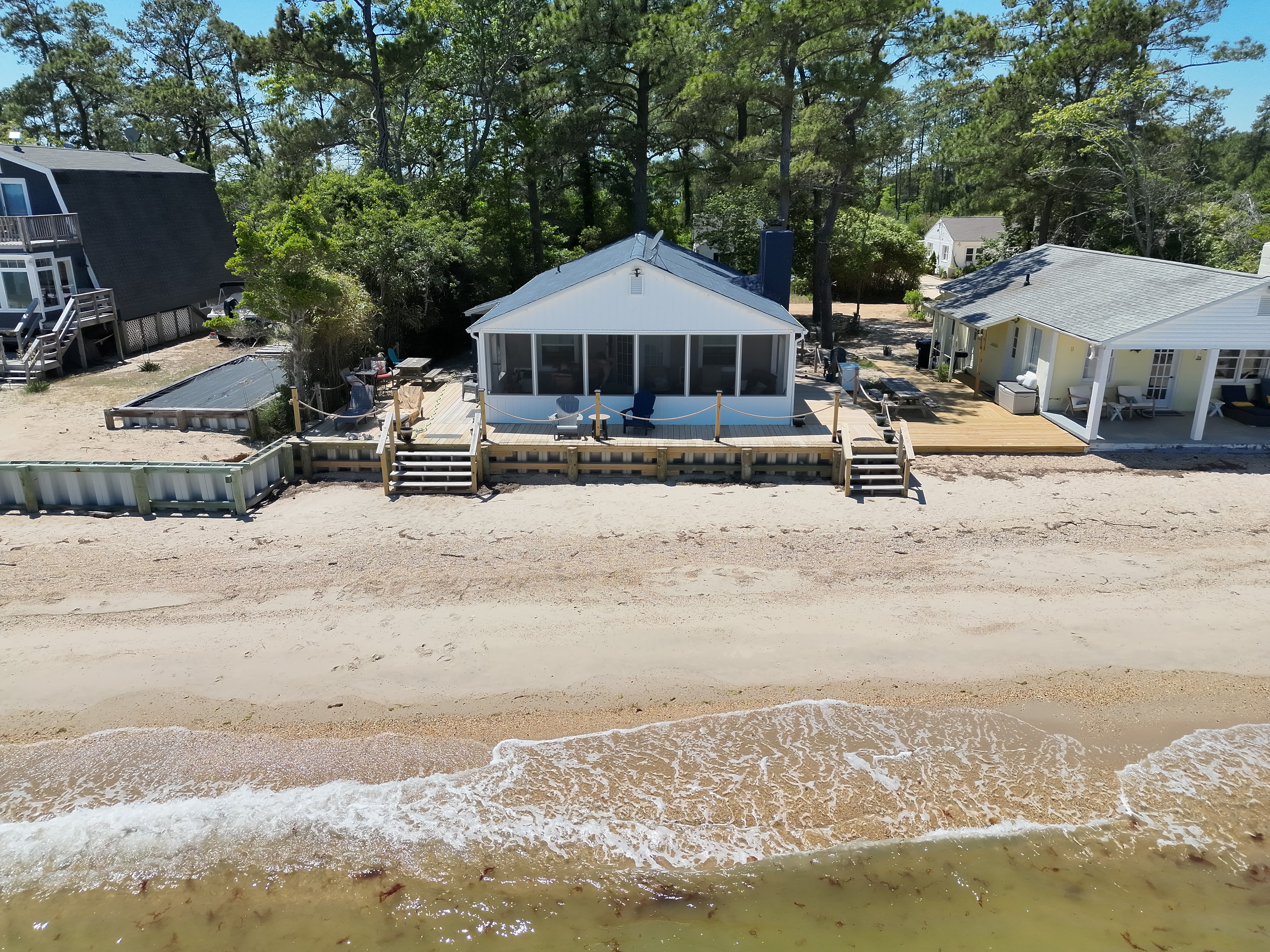
Real Estate Photography & Video
Professional 4K+ resolution aerial photography and video services for real estate agents, realtors, and brokers. Showcase properties from stunning perspectives that ground-level photography simply cannot capture — helping listings stand out and sell faster.
Initial fees are for locations up to 20 miles away. Additional travel fees may apply beyond 20 miles.
Edited aerial photos + a short aerial video
Edited aerial and ground photos + aerial and ground video
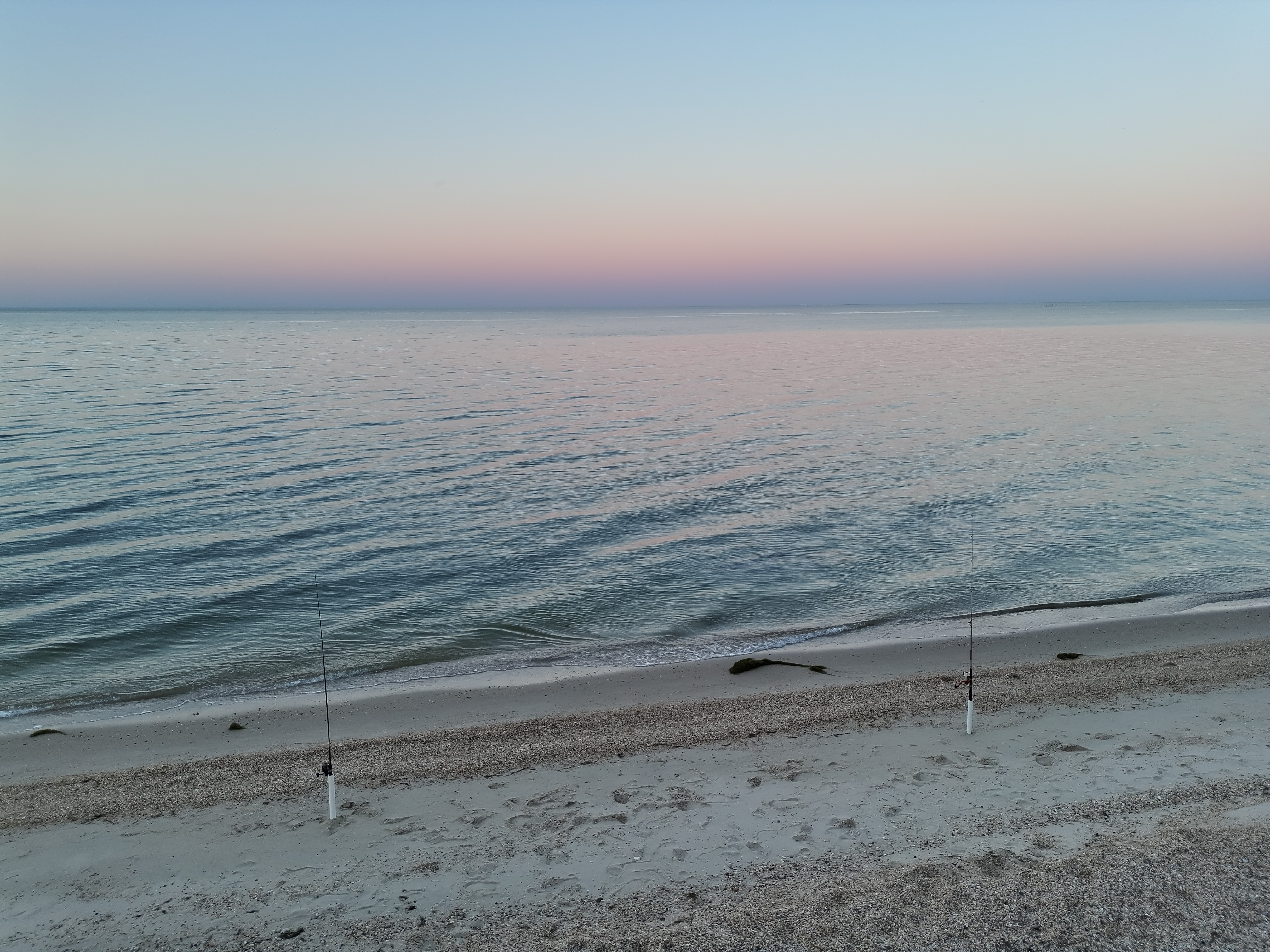
Aerial & Ground Photography
Stunning 4K+ resolution imagery from perspectives only a drone can reach. Perfect for events, agriculture, construction progress, and creative projects. All packages include + mileage. Choose aerial-only or combo aerial + ground packages.
Up to 10 edited aerial photos
Up to 20 edited aerial photos + 30–60 second video
Up to 30 edited aerial photos + video up to 2 minutes
Up to 10 edited aerial photos + up to 10 edited ground photos
Up to 20 edited aerial photos + up to 20 edited ground photos + 30–60 second aerial video
Up to 30 edited aerial photos + up to 30 edited ground photos + aerial video up to 2 minutes
Have something specific in mind? Reach out for a custom quote.
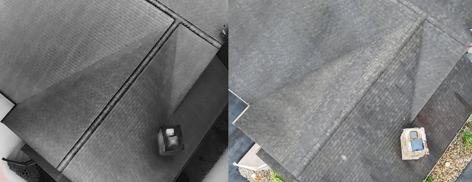
Aerial Structure Inspection
RAW Drone Services strictly provides up-close, in-depth pictures and videos of structures such as roofs, siding, and more — delivered directly to you. It is the client's responsibility to assess the information gathered for potential repairs. Thermal imaging helps identify areas of potential moisture intrusion or insulation issues that may require further inspections by a ground crew or contractor.
Up to 10 pictures + 30–45 second video + thermal scan
Up to 15 pictures + 1–2 minute video + thermal scan
Up to 30 pictures + 2–5 minute video + thermal scan
Contact us for a custom quote.
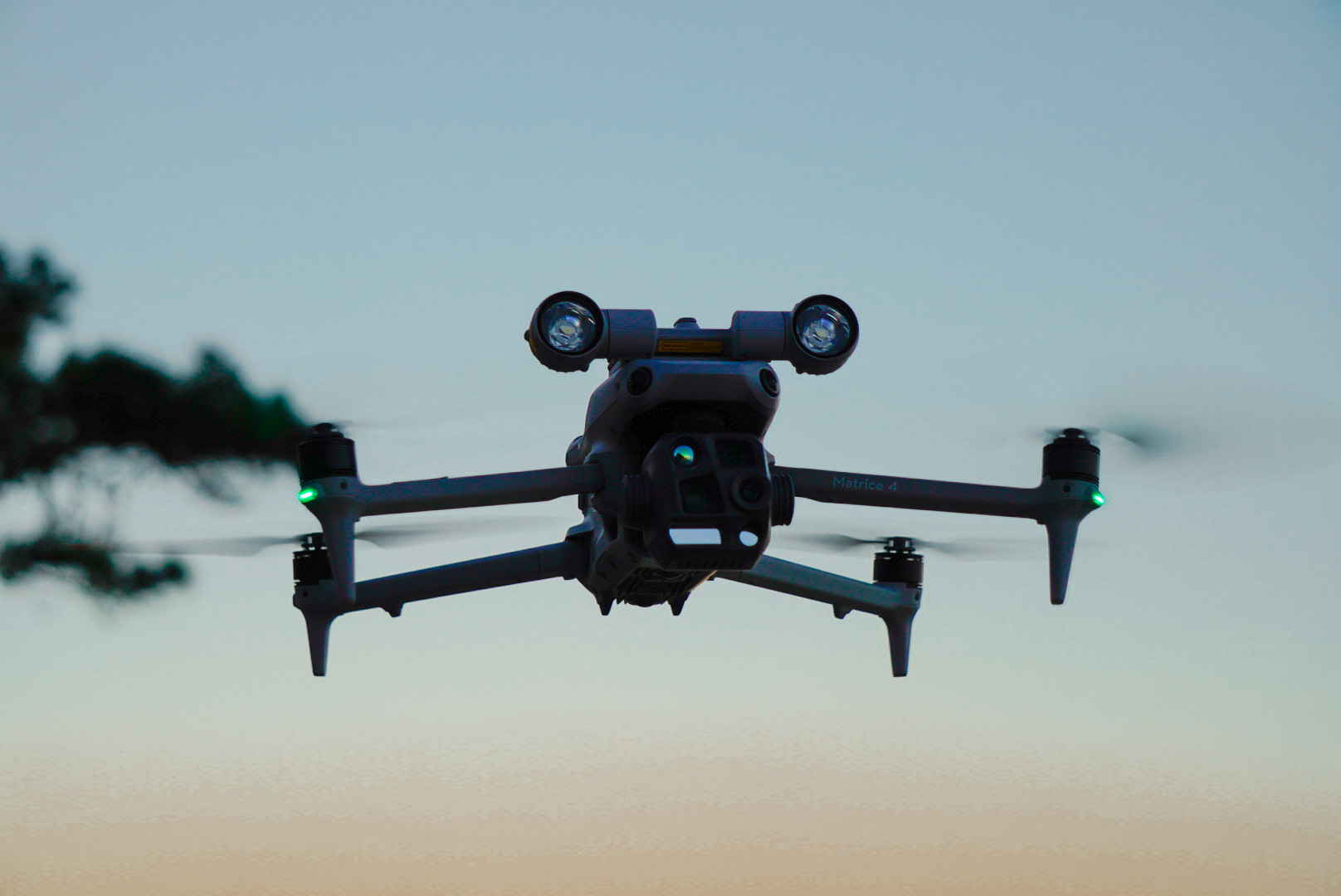
Custom Requests
Have a unique project in mind? We work with you to find a solution — as long as it meets FAA regulations and all applicable legal requirements. Contact us to discuss your specific needs and get a custom quote.
Simple Process
How It Works
Contact Us
Reach out by email or through our contact form. Describe your situation, location, and what you need. We respond fast.
We Assess & Dispatch
We review your request, confirm the service details and pricing based on distance and service type, and get moving.
Search Begins
We arrive on-site and begin operations. For search and locate services, the initial fee includes one full hour of flight time.
Our Work
Gallery
Search & Locate
Pet Search & Locate
What People Say
Customer Reviews
"Huge shout out to Ryan at RAW drone services when my pup Rosie snuck off recently when mama was distracted (lil stinker, lol) Ryan immediately responded with his ETA and to let him know if she returned in the interim. Thankfully she came back shortly after and I contacted Ryan to cancel. I hope I never need RAW Drone Services again but it's great to know I can count on them to respond quickly and with great communication! ❤️"
Danelle Mollura
Google Review
"Amazing and professional! We had him scout the woods behind the house, with little visibility through the canopies, he still came out the try to find our Castle(boxer). He was committed to come back every night until he came home. We appreciated the commitment and integrity the owner showed. Plus you get to watch on the camera and I found that absolutely amazing and interesting!"
Kalic
Google Review
"Ryan was very kind and understanding when looking for our lost dog, we got rained out before we could finish the search. However, he really helped us narrow down where to look and we were able to bring our sweet boy home! He answered any questions we had and any time we were unsure of what we saw even when he knew it was nothing he would double back to give us peace of mind. I highly recommend him anytime you are in need of the search!"
Regina Creek
Google Review
Ready to Help
Don't Wait.
We're Ready.
Whether it's a missing pet, escaped livestock, a search effort, or a photography project — reach out now. We serve Pennsylvania and surrounding states and respond quickly.
contact@rawdroneservices.com · (814) 205-3232